


POLLi Flight
We’re taking the guesswork out of utilizing drones for data collection. Tell POLLi where you want to fly and how much you want to capture, and it will do the rest. Automating drone flights not only makes everything easier, it also ensures high-quality data.

Take the guesswork out of drone flight
Keep it Simple.
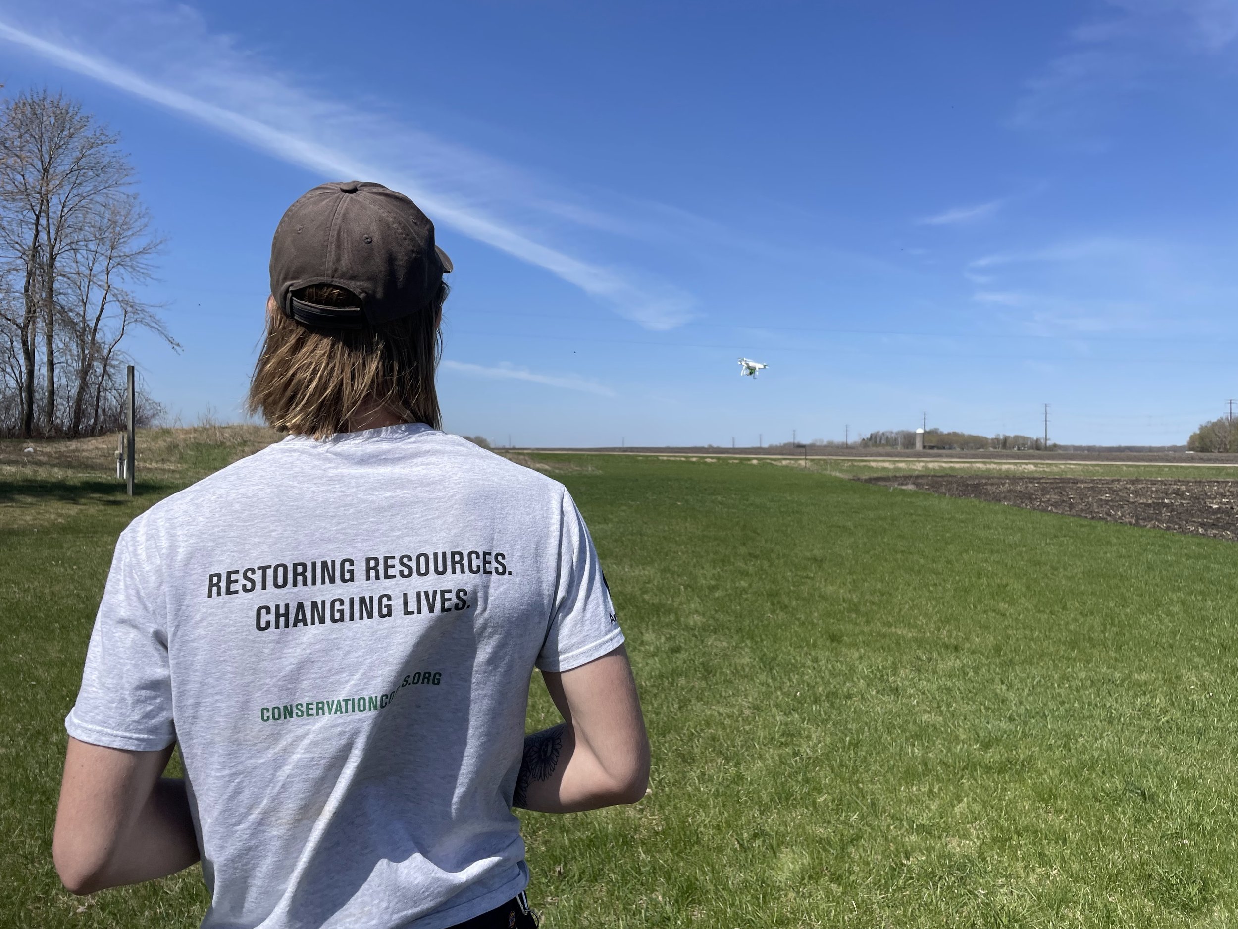
Most people don’t want to be drone pilots, we get it. The POLLi flight application is designed to be as simple and intuitive as possible. Tell the app where you want to fly and how much coverage is needed, and it will take care of the rest.
Data Collection, Consistently
No matter who is collecting your data, control the quality and accuracy by sharing flight plans across an organization.
Easy Drone Connection
Designed to work on the most popular drone models, the POLLi flight app will seamlessly connect with DJI drones, such as the Phantom 4 Series as well as the Mavic 1 and 2. Additionally drone integrations will be released in the near future, as well.
Terrain Follow
Pre-plan your missions to follow the terrain elevation, ensuring a consistent ground sample distance throughout the entire mission. Polli’s proprietary terrain follow mode makes sure the AI algorithms can maintain a high-degree of identification.
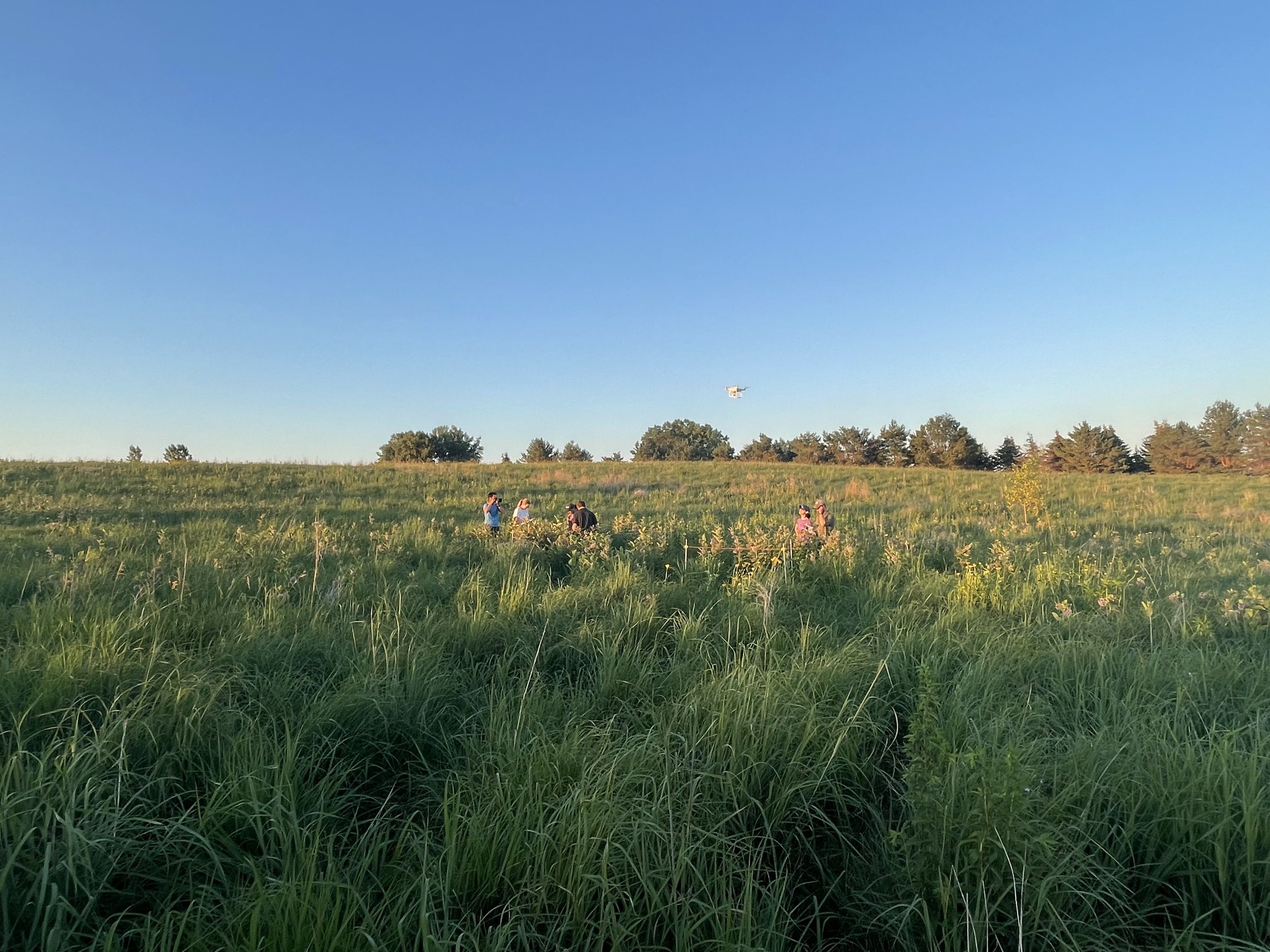

Our mission is to make field data collection fast, easy, and robust. We want to put drones and artificial intelligence in your organization’s toolbox.

Features
Simple to Use: Easy to use application for planning and flying survey missions
Drone Support: Supports DJI Phantom 4, Mavics, and Sony Airpeak drones
Fast: We save your initial choices at the start of each day so there are no unnecessary clicks when filling new loads.

POLLi gives conservation organizations the tools needed to supercharge data collection and analysis. We remove barriers, letting you focus on making the most informed decisions, increasing your team’s effectiveness.
