

What’s POLLi?
The Governed Standard for Vegetation Evidence.
POLLi is a technical platform that converts high-resolution imagery into a Governed Shared Evidence Standard.
Unlike traditional mapping tools that provide static "snapshots," POLLi creates a Digital Thread for vegetation—linking every finding to its source image and providing a traceable, verifiable, and complete (TVC) record for right-of-way (ROW) management, conservation, and regulatory compliance.
POLLi is a governed evidence standard built for complex, heterogeneous landscapes where traditional AI fails due to a lack of existing high-fidelity training data. We solve this "cold start" problem by providing the infrastructure to capture, define, and validate proprietary datasets from scratch using 0.25 cm GSD imagery and Subject Matter Expertise. By codifying human judgment into a "Human-in-the-Loop" workflow, we create a traceable "digital thread" of evidence that is both audit-ready and immune to the model drift found in static, agricultural-grade tools.
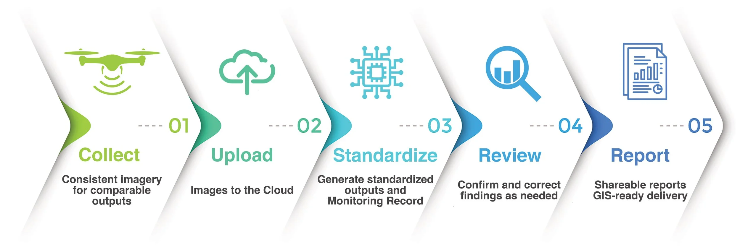
It’s effortless:
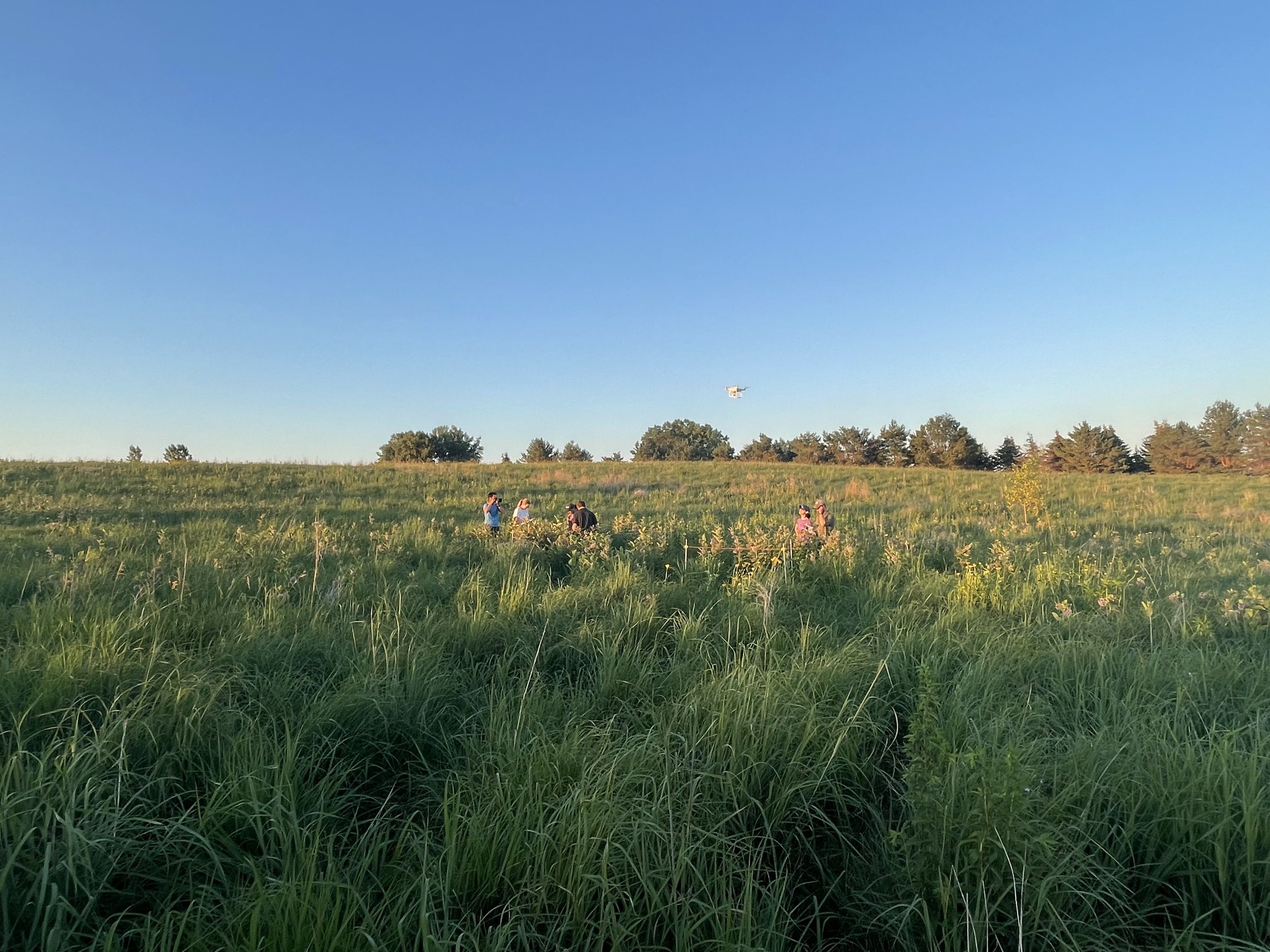
FLY: Collect imagery data at the proper resolution on the POLLi Flight application
UPLOAD: Import the image data to the POLLi platform
STANDARDIZE: Process the data through algorithms hosted on the POLLi platform
REVIEW: Analyze and visualize the results in POLLi
REPORT: Share the statistics with others or export results into your respective GIS tool

POLLi provides organizations the tools needed to supercharge data collection and analysis. We remove barriers, letting you focus on making the most informed decisions, increasing your team’s effectiveness.

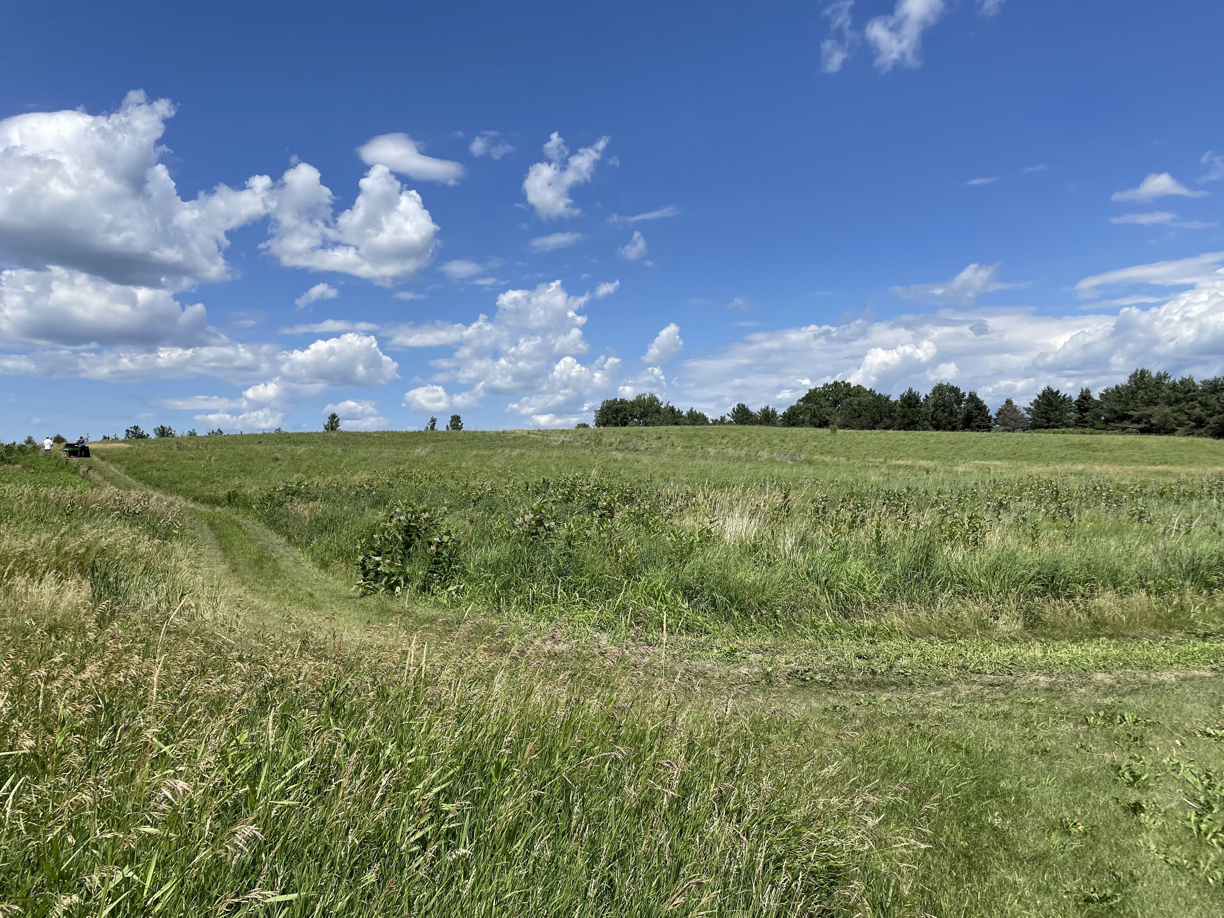
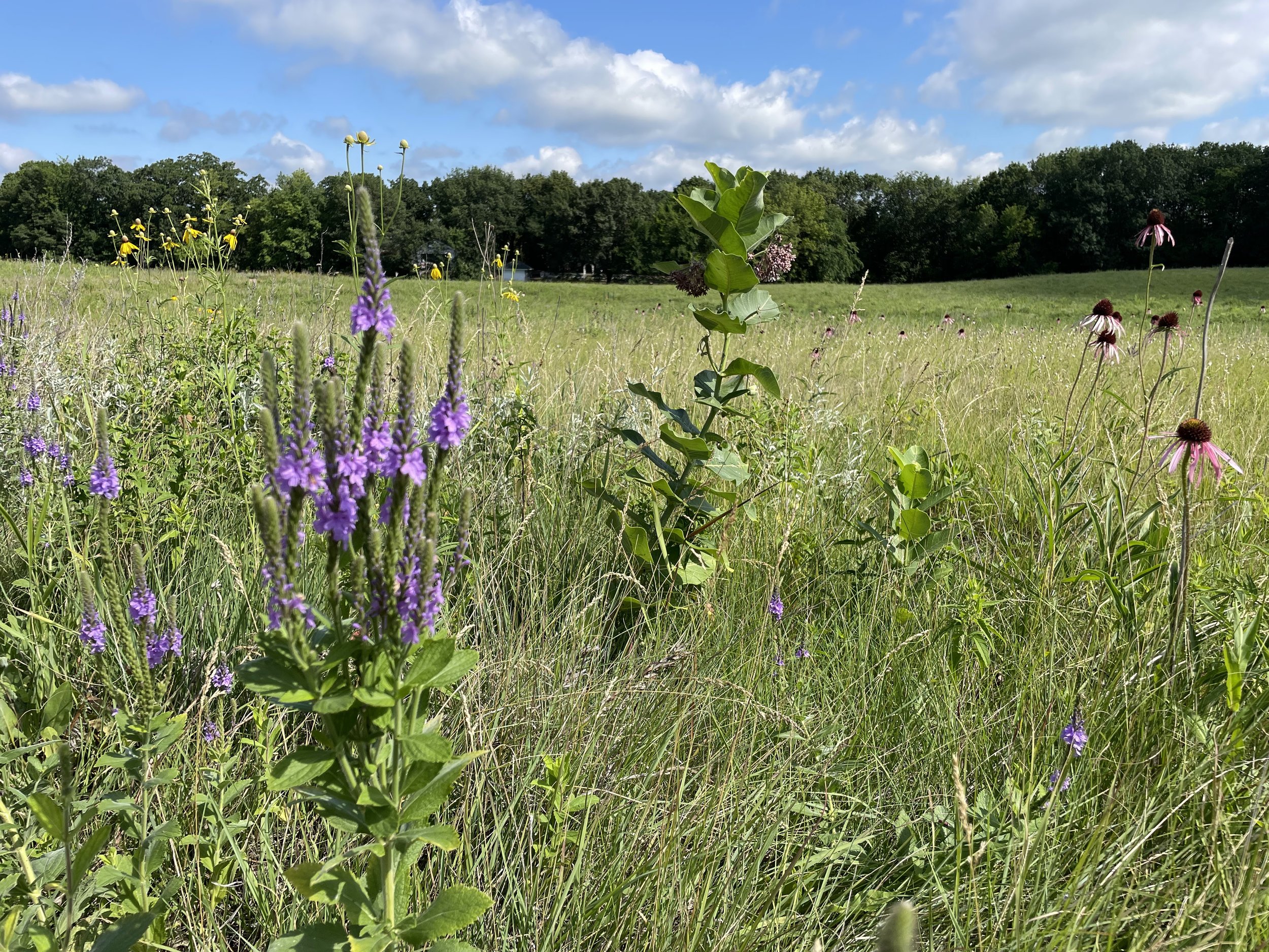
POLLi optimizes a data collection process with drones. The result is a process that saves time and money while improving accuracy. POLLi can facilitate current and future observations of different plant and animal species.
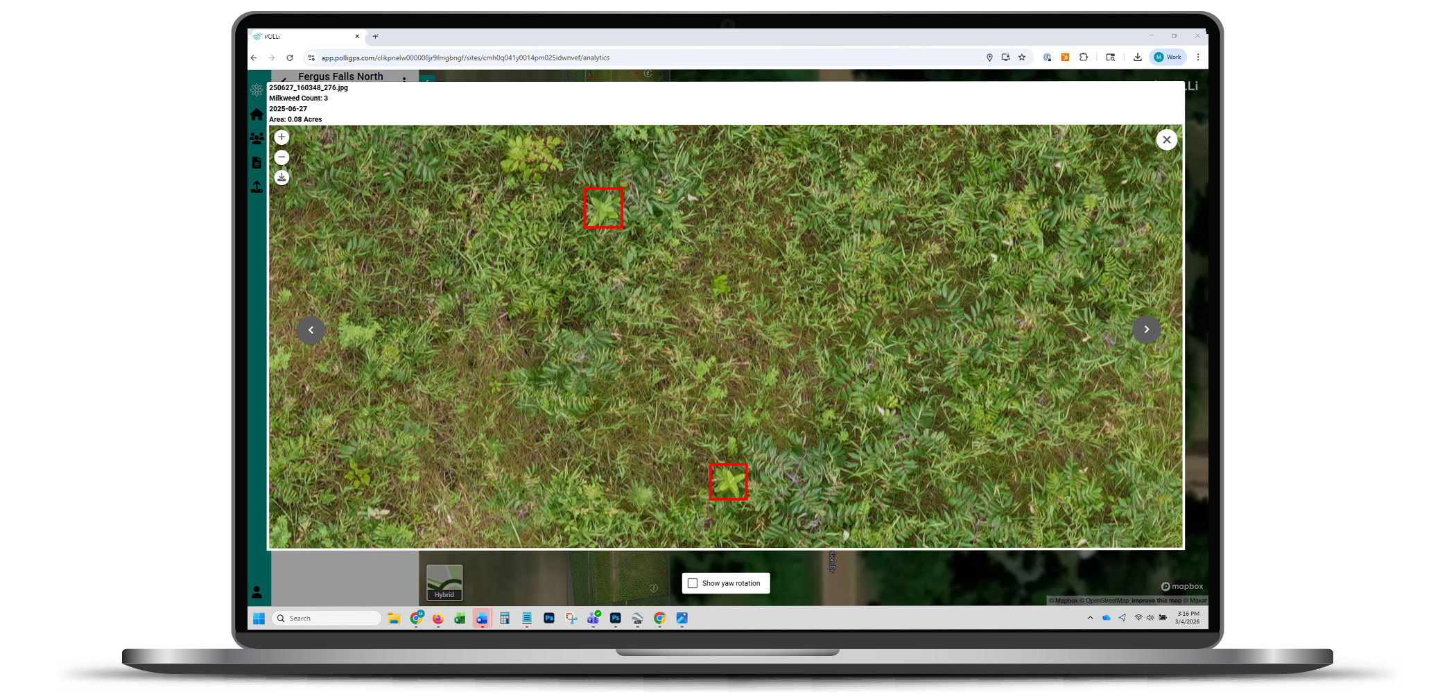
The flight planning tool supports off-the-shelf drone technology for private land operations and drones on the Blue sUAS list, enabling deployment on federally owned lands. Then, we automated the data analytics pipeline to evaluate 100 images per second and count all milkweed in each image – Crazy fast!
Applying machine learning, computer vision, GIS information, and other data layers, POLLi can accept machine learning results for multiple plant and animal species and supports numerous use cases.
The entire solution consists of a flight application to capture data with a drone, a platform to manage ML/CV results, a mobile application capable of supporting manual observations stored in a database, and is expandable to accept new machine learning and computer vision algorithms and data products as they become available.

Our mission is to make field data collection fast, easy, and robust. We want to put drones and expertly crafted ML models in your toolbox. It easier than you think.